Manly Dam Geography Excursion
on Garigal Country
Water in the World
Discover the Water in the World program and the Living World (Stage 4) at Manly Dam — an immersive fieldwork experience that brings the Geography curriculum to life. Through engaging, hands-on activities, field equipment and data collection, students explore the essential role of water in shaping environments, deepening their understanding through real-world inquiry and observation.
Explore Manly Dam – A Field Study Excursion for Secondary Geography Students
Curriculum-aligned, expertly guided excursions for Stage 4 Geography in Greater Sydney
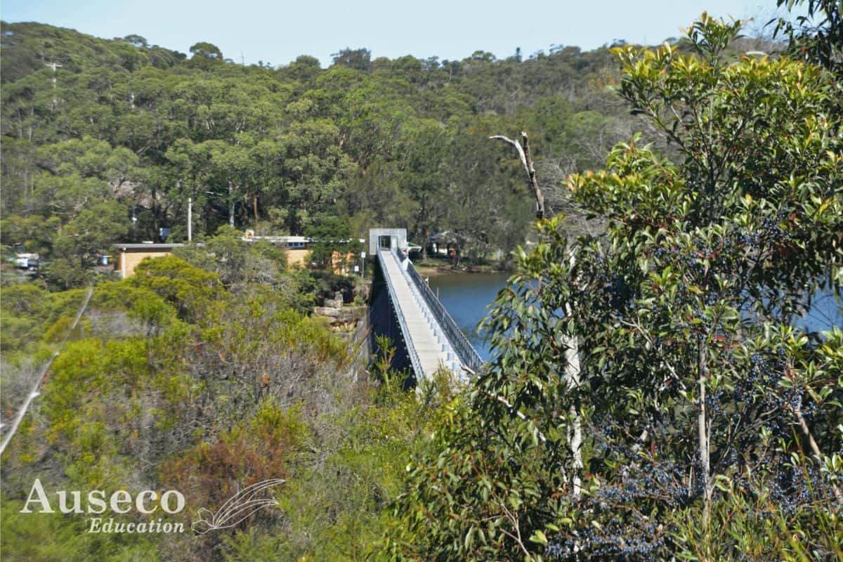
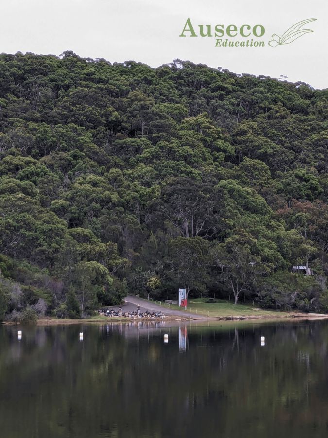
Manly Dam Meeting Point
Curriculum
NESA aligned, curriculum-linked and suitable for all schools including NSW Department of Education Schools
Experience hands-on environmental education at Manly Dam, aligned with NSW Stage 4 Geography syllabus. Engage your students with real-world learning in one of Sydney’s most iconic natural landscapes.
Content:
Stage 4 (Year 7–8): Water in the World
- Investigate how water connects places.
- Examine how water scarcity affects people and environments.
- Understand the hydrological cycle through field observations.

Manly Dam Meeting Point
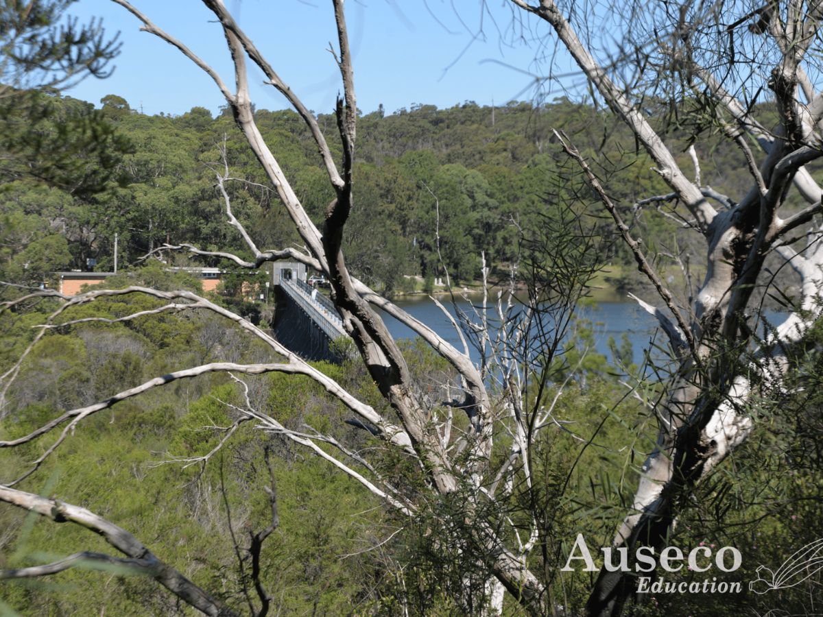
Manly Reservoir, Northern Beaches
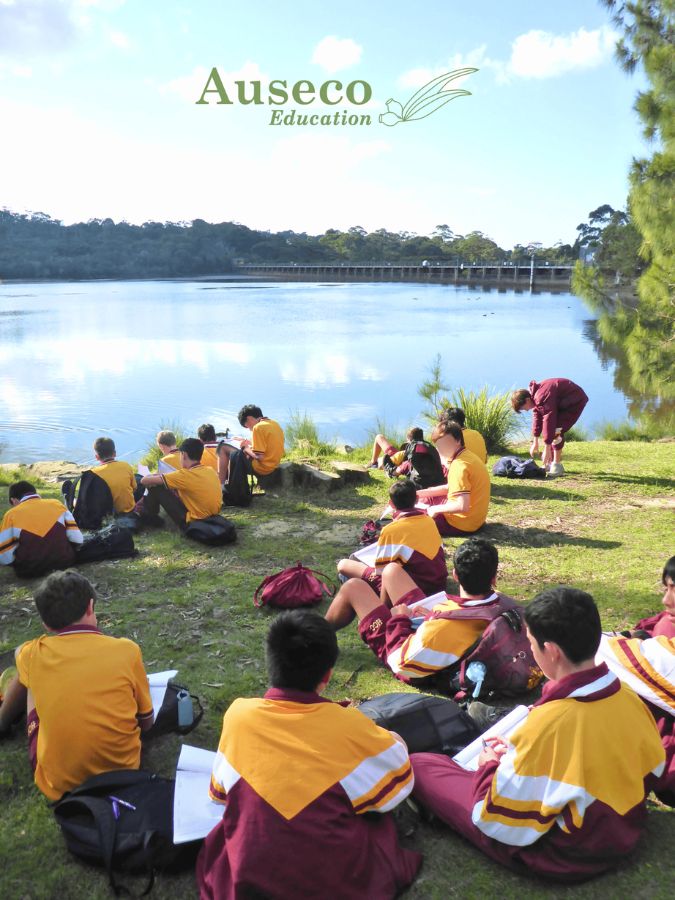
Located just 17 km's from Sydney's CBD (we start at 9:30am – it can take 1hr in peak hour traffic), Manly Dam is a prime case study to engage your students when teaching Water in the World.
This site showcases freshwater distribution and availability, hydrological processes, catchment modification, the management of water as a resource.
Water in the World - Manly Dam
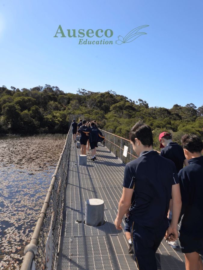
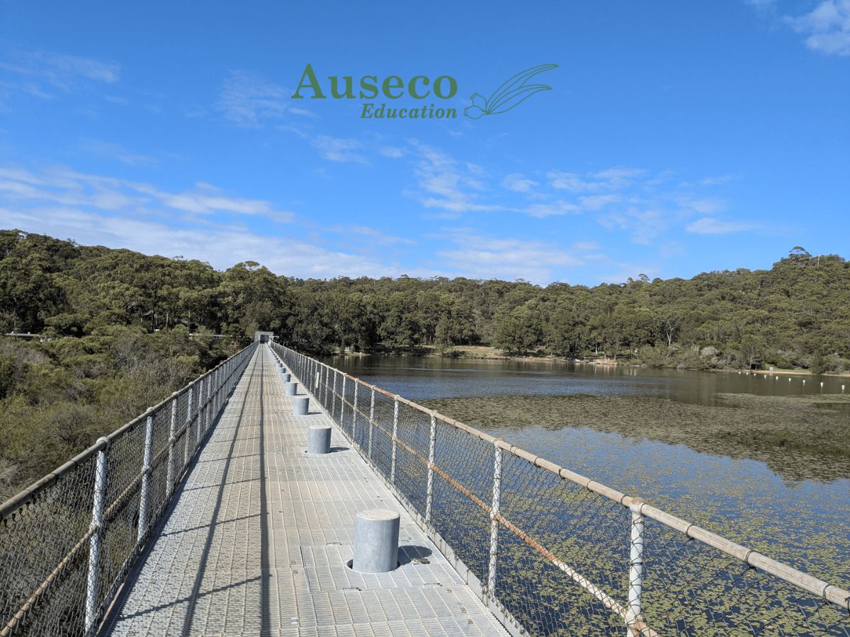
Originally constructed as a water supply, the reservoir at Manly Dam has become a wildlife sanctuary and recreation site, hidden in the bush between the suburbs of Allambie and North Balgowlah. It’s the perfect background for studying water quality and human impacts on it, with a variety of influences within the catchment. Crossing the dam wall is not an adventure for the faint-hearted!
Syllabus outcomes from this field trip
GE4-1 A student locates and describes the diverse features and characteristics of a range of places and environments
GE4-2 A student describes processes and influences that form and transform places and environments
GE4-3 A student explains how interactions and connections between people, places and environments result in change
GE4-5 A student discusses management of places and environments for their sustainability
GE4-7 A student acquires and processes geographical information by selecting and using geographical tools for inquiry
GE4-8 A student communicates geographical information using a variety of strategies
Whats included in the Excursion?
-
Expert field guides
Led by qualified educators with science and geography, and teaching backgrounds. -
Curriculum Workbooks
Stage-appropriate booklets to guide and inform students through each activity and assist teachers with developing an assessment task link to the field work. -
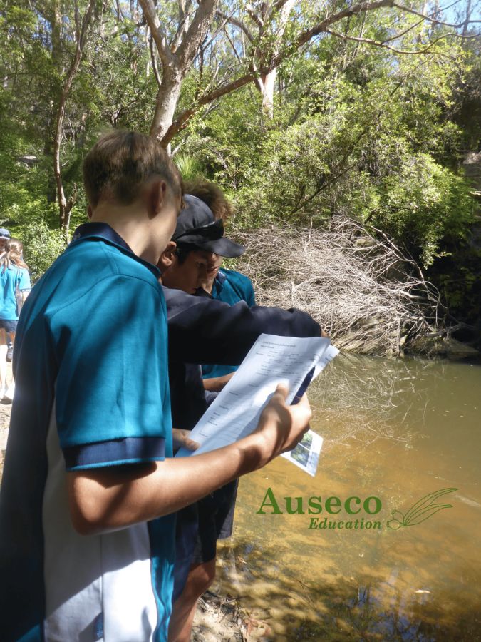
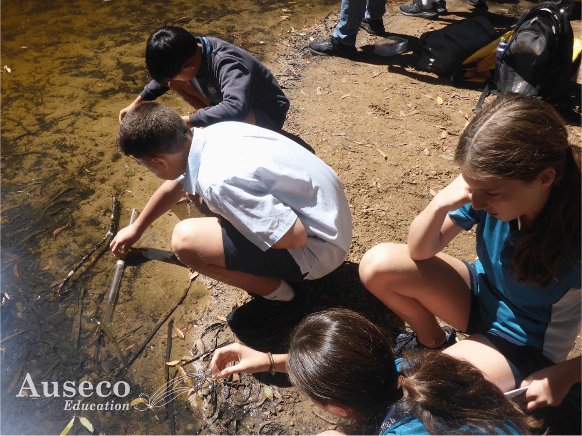
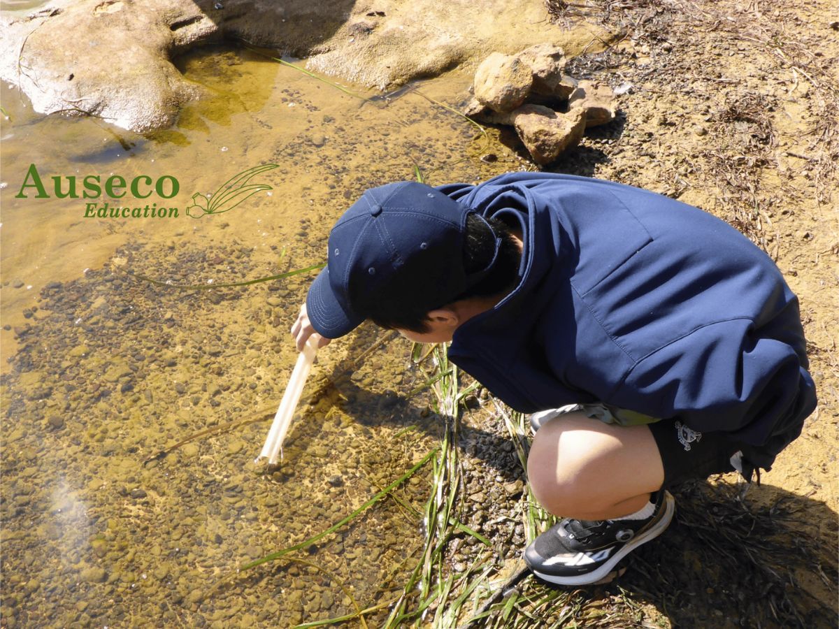
Hands-On Field Testing
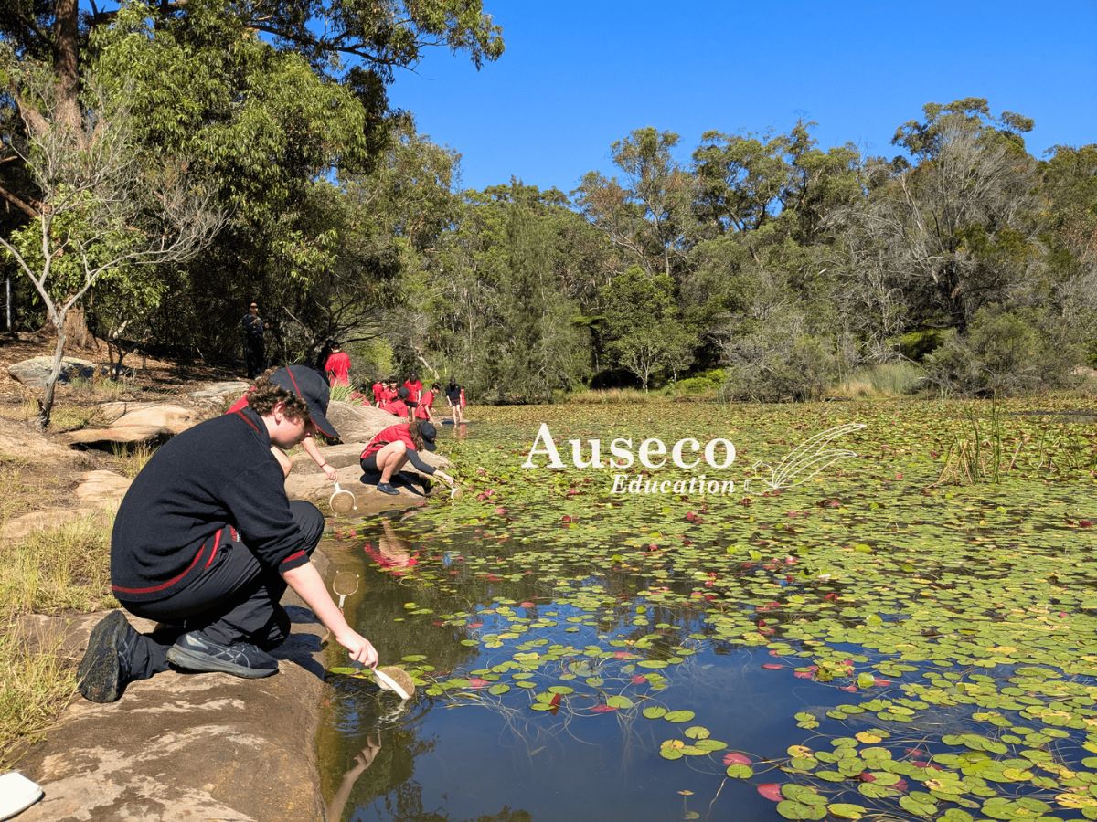
Measure water quality of a lotic system through physical, chemical, biological testing: water pH, turbidity and macroinvertebrate sampling. - Supported by Secondary Sources
Understand how to read a topographic maps to identify catchment boundaries in the landscape and possible pollution sources within them. - Post-Excursion Resources
Answer sheets, supplementary reading material, and photos of your day. - Fully Assessed Risk Documentation
All safety protocols and documentation are provided in advance.
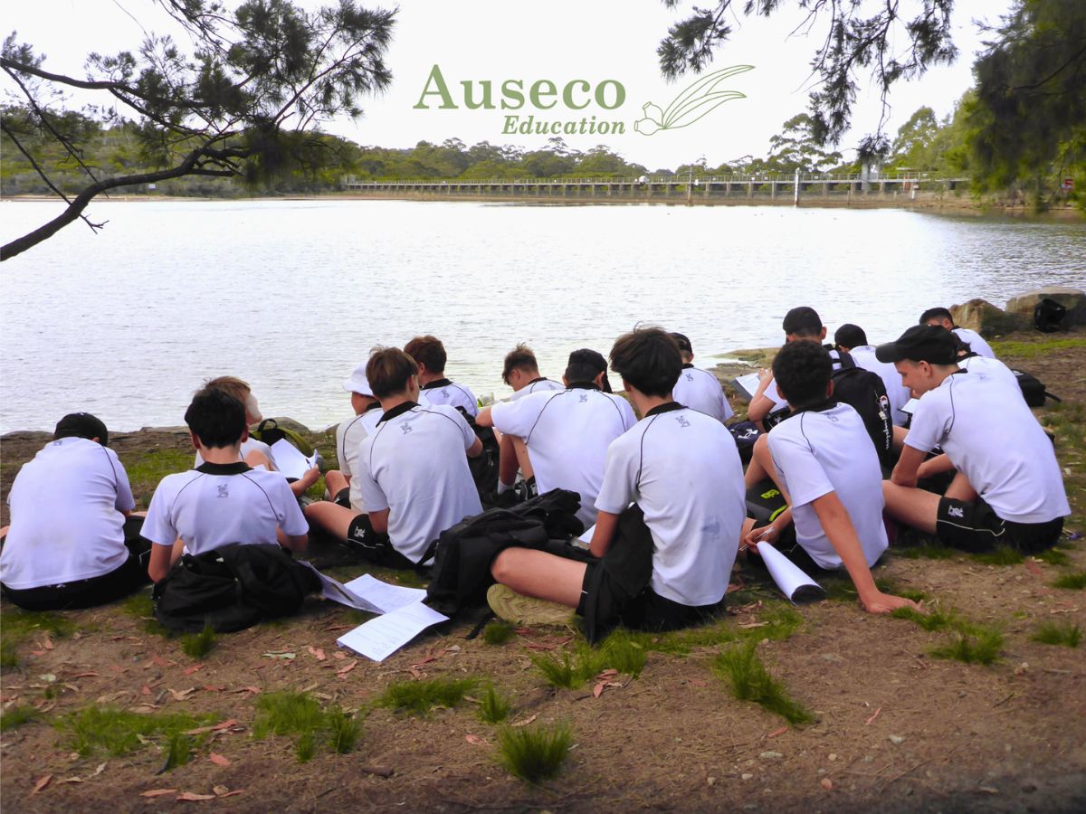
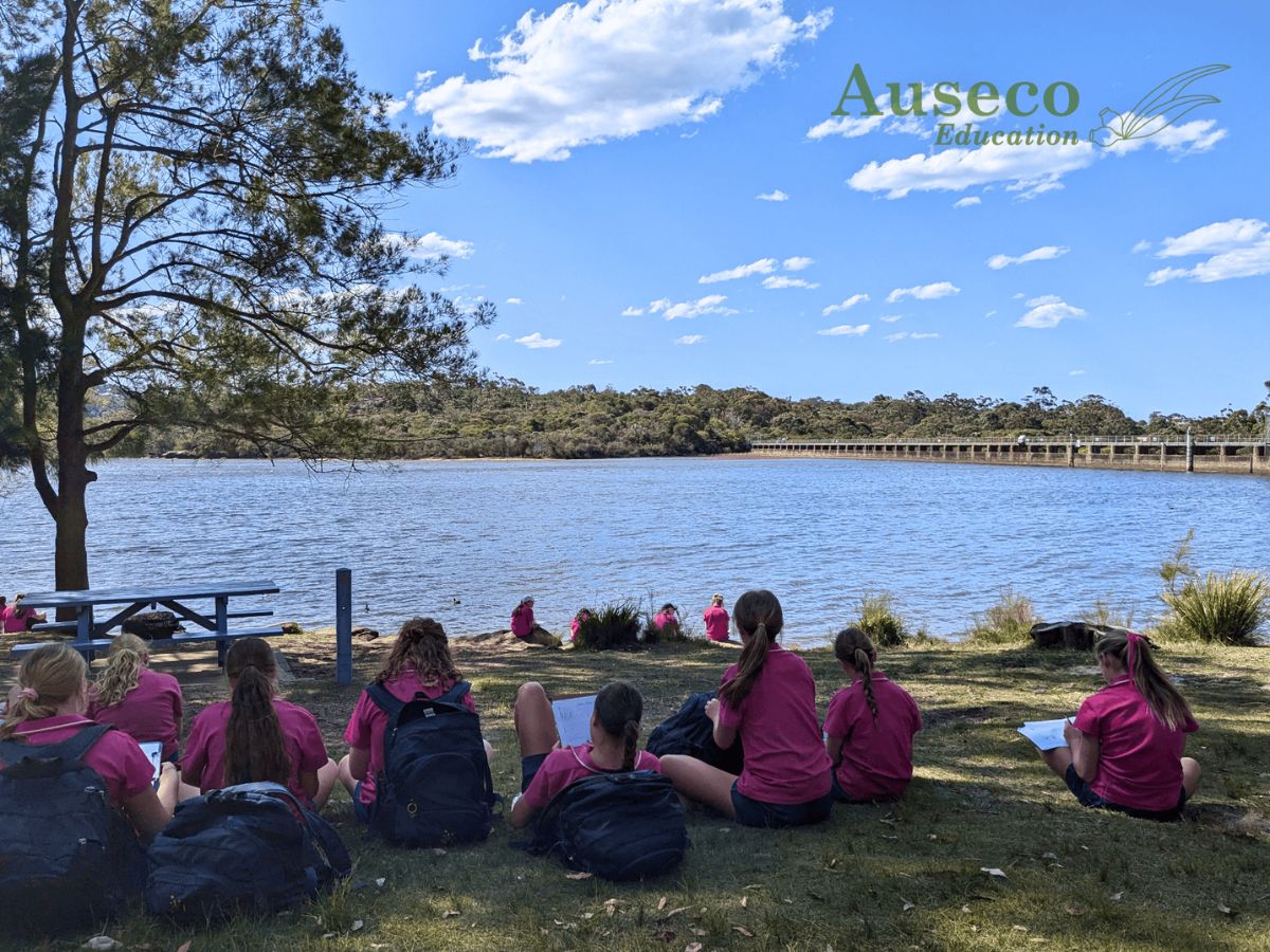
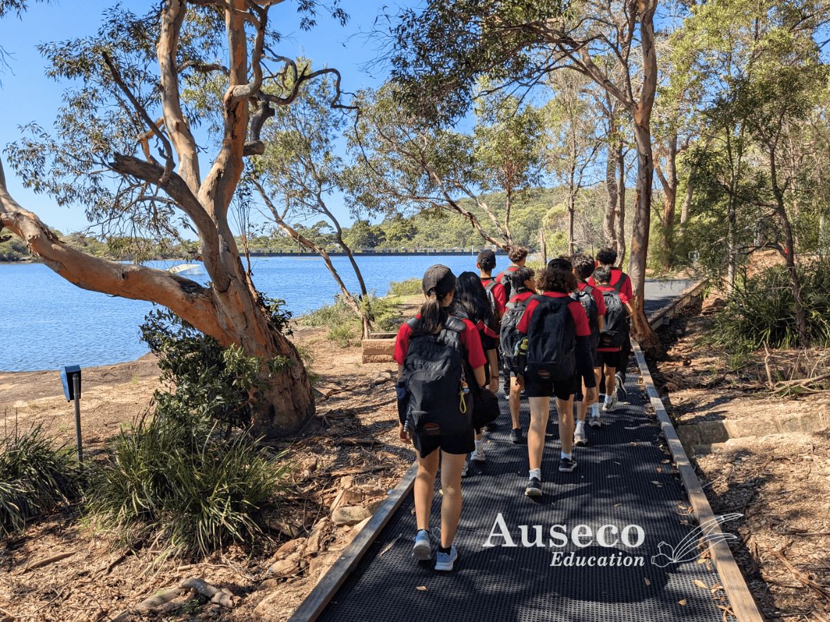
Students work in small groups, so every student gets an opportunity to have a go! They will use tools and equipment not readily available at school to collect and interpret real-world data.
Transport & Accessibility
- Bus Access: Parking available for school buses.
- Public Transport: Nearest B-line stop with a short 25 minute walk.
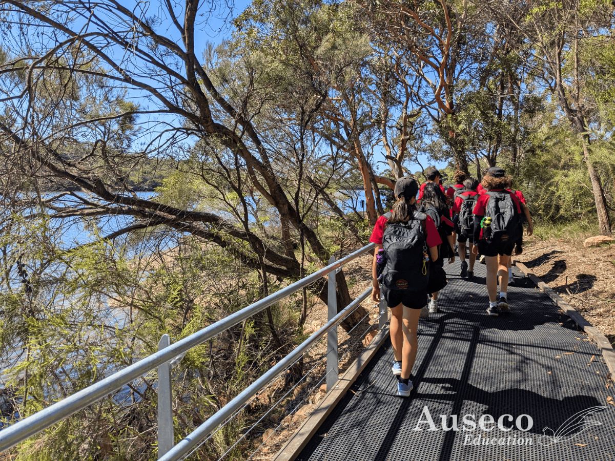
- Accessibility: Walking tracks suitable for all fitness levels and wheelchairs.
Bushland
This field study explores catchments where humans have harvested water for decades in some of Sydney’s untouched bushland. We’ll use topographic maps to identify catchment boundaries in the landscape and possible pollution sources within them, and use macroinvertebrate surveys to gauge the effect of this pollution on water quality. Our day also features a fun hands-on activity to design and test filters that could be used to improve water quality for human use.
Locations
- Manly Dam (Allambie)
- Camp Coutts (Waterfall)
Program outline
- Morning session: Site briefing, background, map work, field sketch
- Midday session: Catchment traverse, water pollution testing
- Afternoon session: Aquatic macroinvertebrate survey, water filter designing
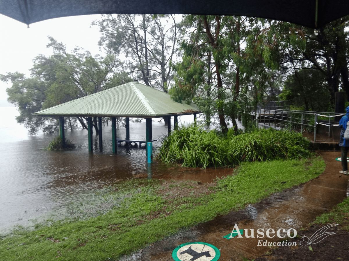
Activities are performed in a rotation to accommodate multiple classes. The timing and location of activities will vary according to factors such as the school’s schedule, number of classes, and the environmental conditions on the day.
Sample worksheets are available which also contain details of geographical skills, equipment and secondary data provided by this program. Contact us to request.
What Students will Learn
- Investigate how natural and human processes influence the distribution and availability of water as a resource, for both humans and local flora and fauna.
- Examine water flows within a catchment and explore how land use within catchments can affect water quality.
- Explore factors influencing water flows, such as topography, land cover and catchment modification.
- Investigate approaches that can be used to manage water resources.
- Geographical tools and inquiry skills in the field, which can be applied back in the classroom.
Testimonials
The Auseco difference
Locations right across Sydney
We operate at a range of Sydney’s most scenic locations
Dedicated equipment & secondary data
We provide all the field equipment and secondary data for your day
Teacher’s pack with risk assessments
Comprehensive details are provided on what to expect for your excursion.
Experienced & engaging staff
Our expert guides come from a diverse range of backgrounds