Stage 4
Geography excursions
Auseco’s Stage 4 Geography field study excursions are aligned with the NSW Geography 7-10 Syllabus 2015. Updated field trip programs aligned to the new 2024 Geography 7-10 Syllabus will be available for preview in the latter half of 2026 in time for delivery in 2027.

Water in the World
Water so pure you could drink it… or could you?
Syllabus outcomes from this field trip
GE4-1 A student locates and describes the diverse features and characteristics of a range of places and environments
GE4-2 A student describes processes and influences that form and transform places and environments
GE4-3 A student explains how interactions and connections between people, places and environments result in change
GE4-5 A student discusses management of places and environments for their sustainability
GE4-7 A student acquires and processes geographical information by selecting and using geographical tools for inquiry
GE4-8 A student communicates geographical information using a variety of strategies
Bushland
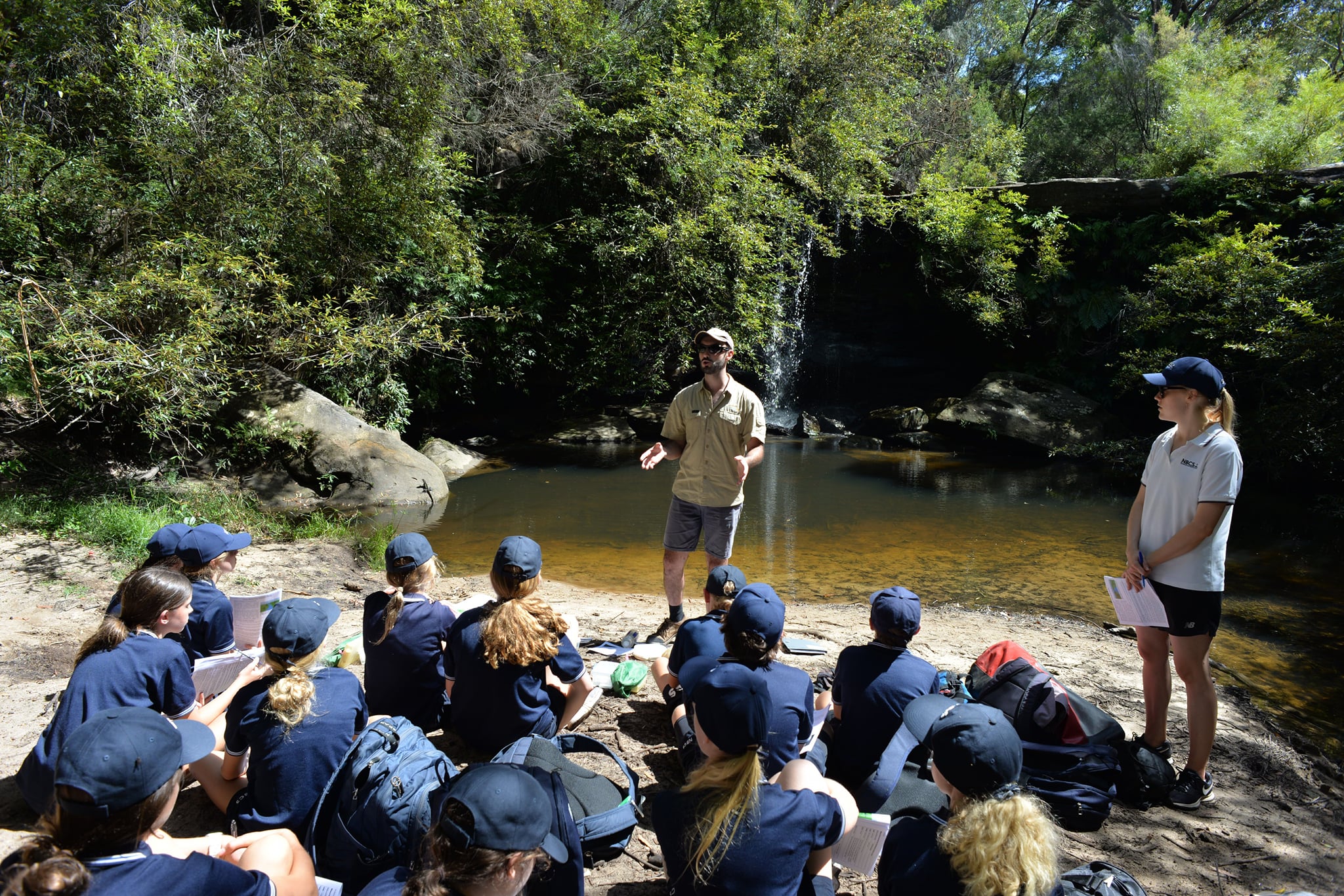
This field study explores catchments where humans have harvested water for decades in some of Sydney’s untouched bushland. We’ll use topographic maps to identify catchment boundaries in the landscape and possible pollution sources within them, and use macroinvertebrate surveys to gauge the effect of this pollution on water quality. Our day also features a fun hands-on activity to design and test filters that could be used to improve water quality for human use.
Locations
- Manly Dam (Allambie)
- Camp Coutts (Waterfall)
Program outline
- Morning session: Site briefing, background, map work, field sketch
- Midday session: Catchment traverse, water pollution testing
- Afternoon session: Aquatic macroinvertebrate survey, water filter designing
Activities are performed in a rotation to accommodate multiple classes. The timing and location of activities will vary according to factors such as the school’s schedule, number of classes, and the environmental conditions on the day.
Sample worksheets are available which also contain details of geographical skills, equipment and secondary data provided by this program. Contact us to request.

Landscapes and Landforms
From shaded gullies to lofty headlands or towering escarpments, we’ve got the pick of Sydney’s landscapes for you to study.
Syllabus outcomes from this field trip
GE4-1 A student locates and describes the diverse features and characteristics of a range of places and environments
GE4-2 A student describes processes and influences that form and transform places and environments
GE4-4 A student examines perspectives of people and organisations on a range of geographical issues
GE4-5 A student discusses management of places and environments for their sustainability
GE4-7 A student acquires and processes geographical information by selecting and using geographical tools for inquiry
GE4-8 A student communicates geographical information using a variety of strategies
Bushland
Featuring some of Sydney’s most scenic bushland, this excursion studies ridges, gullies and embayments and the processes that form them from ancient Hawkesbury Sandstone. We’ll undertake topographic map work, then use instruments to measure the differences in physical parameters across the landscape. We’ll consider the use and management of these areas by indigenous peoples and current authorities, and gauge the impact of humans on the bushland using a macroinvertebrate survey to quantify water pollution. We’ll also visit areas affected by rockfall, and consider how these hazards occur and how they can be prevented.
Locations
- Camp Kedron (Ingleside)
- Bantry Bay (Frenchs Forest)
- Camp Coutts (Waterfall)
Program outline
- Morning session: Site briefing, background, map work, field sketch
- Midday session: Landform traverse, physical testing (hill and/or valley location)
- Afternoon session: Landform traverse, pollution survey
Activities are performed in a rotation to accommodate multiple classes. The timing and location of activities will vary according to factors such as the school’s schedule, number of classes, and the environmental conditions on the day.
Sample worksheets are available which also contain details of geographical skills, equipment and secondary data provided by this program. Contact us to request.
Rainforest
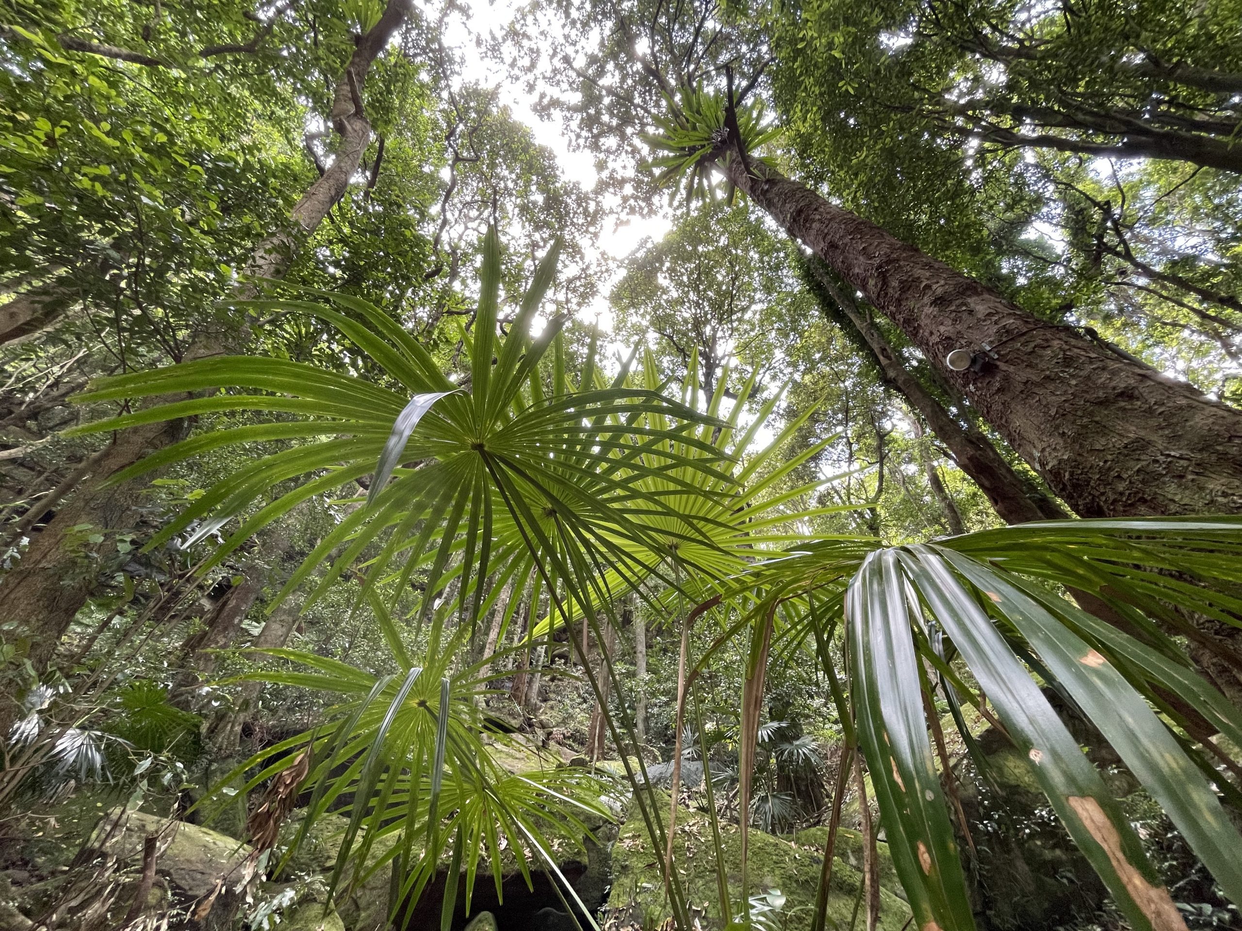
The spectacular Illawarra Escarpment features in this detailed study of the Mt Keira landscape. We’ll familiarise ourselves with the local landforms using topographic maps and a field sketch, then measure biophysical parameters including soil characteristics, soil moisture, tree height and foliage cover. A breathtaking hike plunges us into the valley below, where we’ll see evidence of mass movement and experience the rainforest’s unique microclimate firsthand.
Location
- Mt Keira (Wollongong)
Program outline
- Morning session: Site briefing, background, map work, field sketch
- Midday session: Physical testing (open forest location), landform traverse
- Afternoon session: Mass movement study, physical testing (rainforest location)
Activities are performed in a rotation to accommodate multiple classes. The timing and location of activities will vary according to factors such as the school’s schedule, number of classes, and the environmental conditions on the day.
Sample worksheets are available which also contain details of geographical skills, equipment and secondary data provided by this program. Contact us to request.
Coast
Everyone loves a day at the beach! We’ll investigate the formation of headlands, rock platforms, sand dunes and beaches by studying the local geology and weathering patterns of the wind and waves. We’ll visit a location affected by mass movement, and study a sand dune landform in detail by measuring wind speeds and vegetation across the dune. And in between, our field sketch location has got to be one of the most spectacular in Sydney!
Location
- Long Reef to Fisherman’s Beach (Collaroy)
Program outline
- Morning session: Site briefing, background, map work, dune study
- Midday session: Landform traverse, field sketch
- Afternoon session: Geology and mass movement study, historical comparison
Activities are performed in a rotation to accommodate multiple classes. The timing and location of activities will vary according to factors such as the school’s schedule, number of classes, and the environmental conditions on the day.
Sample worksheets are available which also contain details of geographical skills, equipment and secondary data provided by this program. Contact us to request.

Place and Liveability
The classroom for this Geography lesson is second to none!
Syllabus outcomes from this field trip
GE4-1 A student locates and describes the diverse features and characteristics of a range of places and environments
GE4-3 A student explains how interactions and connections between people, places and environments result in change
GE4-4 A student examines perspectives of people and organisations on a range of geographical issues
GE4-6 A student explains differences in human wellbeing.
GE4-7 A student acquires and processes geographical information by selecting and using geographical tools for inquiry
GE4-8 A student communicates geographical information using a variety of strategies
Sydney Harbour
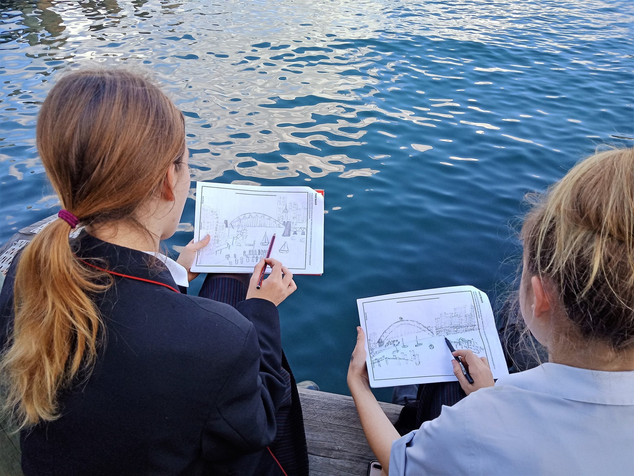
Sydney is a superb city to live in, and this excursion takes in some of its most sought-after harbourside suburbs. We’ll evaluate the liveability of Miller’s Point, Milson’s Point and Lavender Bay using a series of physical tests for noise, light and temperature, and neighbourhood surveys of services, amenities and other aspects of the community. Highlights of this excursion include a walk across the Harbour Bridge and a visit to a hidden garden created from a disused railway embankment.
Location
Program outline
- Morning session: Site briefing, background, class surveys, map work
- Midday session: Testing and neighbourhood survey at Miller’s Point, walk across Harbour Bridge
- Afternoon session: Testing and neighbourhood survey of Milson’s Point and (optionally) Lavender Bay, field sketch
Activities are performed in a rotation to accommodate multiple classes. The timing and location of activities will vary according to factors such as the school’s schedule, number of classes, and the environmental conditions on the day.
Sample worksheets are available which also contain details of geographical skills, equipment and secondary data provided by this program. Please request using the button below.
