Stage 6
Geography excursions
Auseco’s Stage 6 Geography field study excursions are aligned with the NSW Geography Stage 6 Syllabus 2022. Our fieldwork outcomes cover most of the physical and human geography units, with some combined programs available for a value-added experience!
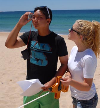
Earth’s Natural Systems (Year 11)
Choose from a variety of locations in which to investigate the complex interactions between atmospheric, hydrological, geomorphic and biological systems and their functioning.
Syllabus outcomes for this field trip
GE-11-01 A student examines places, environments and natural and human phenomena, for their characteristics, spatial patterns, interactions and changes over time
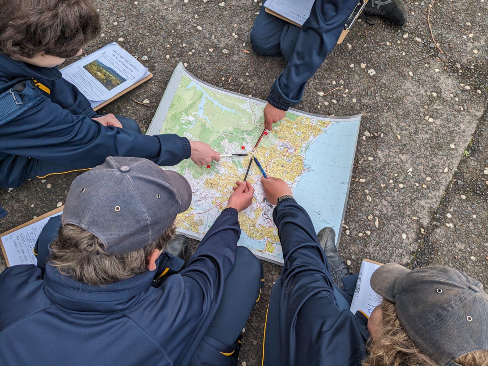
Students will view their field study site on a map and identify salient characteristics of the landscape. They will examine the key traits and drivers by which the four spheres interact in the ecosystem, and collect a range of primary data to demonstrate these.
GE-11-02 A student explains geographical processes and influences, at a range of scales, that form and transform places and environments
Through physical testing, students will draw conclusions about the advent of the underlying landscape, and how it interacts with other factors such as climate and biota through complex geographical processes.
GE-11-05 A student analyses and synthesises relevant geographical information from a variety of sources
Students will be provided with secondary data to support their field studies, such as topographical maps, climate data and historical aerial photographs, as well as collecting and interpreting a range of primary data themselves.
GE-11-06 A student identifies geographical methods used in geographical inquiry and their relevance in the contemporary world
Students will gain hands-on experience of using modern geographical field equipment and survey methodologies. Through small group work, Auseco ensures that every student has access to all pieces of equipment with opportunities to collect high-quality data.
GE-11-07 A student applies geographical inquiry skills and tools, including spatial technologies, fieldwork, and ethical practices, to investigate places and environments
Fieldwork is what it’s all about at Auseco! Students prepare for their field study by analysing maps and climate data for the site, then perform detailed investigations using a variety of equipment and techniques relevant to the site’s characteristics.
GE-11-08 A student applies mathematical ideas and techniques to analyse geographical data
Students interpret qualitative and quantitative data they have collected in the field, and also critically evaluate their data quality in terms of its reliability, sources of bias, validity of results, usefulness of the outcome, and any limitations of the methodology or equipment.
GE-11-09 A student communicates and applies geographical understanding, using geographical knowledge, concepts, terms and tools, in appropriate forms
Students not only gain skills and knowledge about field study techniques and their site, but in drawing together their background knowledge and interpreting their results from the day, they are given an excellent opportunity to build and apply their geographical understanding. Actively engaged fieldwork participants find that this translates to high assessment performance down the track.
Hawkesbury Sandstone bushland systems
Sydney’s temperate pyric sclerophyll forests, which derive their characteristics from our hot summers, poor soils and bushfire regimes, make an excellent case study of the drivers and processes that form these unique and diverse ecosystems. We’ll investigate the bushland’s geomorphic, biological and hydrological systems through testing and surveys, and observe some of the complex interactions that enable bushland species to thrive in these challenging conditions. It’s also an opportunity to reflect on human connection to this awe-inspiring natural environment – our own, and that of the Garigal people.
Locations
- Bantry Bay (Frenchs Forest)
- Camp Coutts (Waterfall) – coming soon!
- Camp Kedron (Ingleside)
Program outline
- Morning session: Site briefing, background, map work, sandstone study, soil testing
- Midday session: Landform testing in vegetation communities
- Afternoon session: Hydrology testing and macroinvertebrate survey, lotic food web, nature connection survey
Activities are performed in a rotation to accommodate multiple classes. The timing and location of activities will vary according to factors such as the school’s schedule, number of classes, and the environmental conditions on the day.
Sample worksheets are available which also contain details of geographical skills, equipment and secondary data provided by this program. Contact us to request.
Intertidal wetland systems
Bring a change of shoes for this one! Students will explore the geographical processes acting on the ecosystems of Botany Bay’s intertidal wetlands. A vegetation transect provides a close study of the physical characteristics of mangroves, saltmarsh and sand dunes, and a variety of equipment are used to collect data about the microclimate within the mangrove forest. Students immerse themselves (only partially!) in a seagrass animal catch to build a food web and evaluate the stability of this system against future threats and disasters.
Optional extension studies on the day cover Human-Environment Interaction material including secondary data and direct observation of pollution sources, acid sulfate soils, changes to waves and currents, and human impacts on RAMSAR wetlands.
Location
- Botany Bay (Kurnell)
Program outline
- Morning session: Site briefing, background, vegetation transect, mangrove substrate sampling
- Midday session: Salinity study, mangrove microclimate data collection
- Afternoon session: Seagrass animal catch, nature connection survey
Activities are performed in a rotation to accommodate multiple classes. The timing and location of activities will vary according to factors such as the school’s schedule, number of classes, and the environmental conditions on the day.
Sample worksheets are available which also contain details of geographical skills, equipment and secondary data provided by this program. Contact us to request.
Coastal dune systems
Did you know that the formation of Botany Bay is recorded in Aboriginal Dreaming stories? Students will build on knowledge collected across the millennia to observe some of the complex traits and drivers of these Sandy Shoreline ecosystems. Sand dunes make a fascinating study of atmospheric, geomorphic, hydrological, and biological systems because the processes are occurring right before our eyes!
Optional Human-Environment Interactions material allows students to observe human impacts on the sand dunes caused by poor management in the past, and seek evidence of damage caused by major climatic events (East Coast Low).
Locations
Program outline
- Morning session: Site briefing, background, map work, erosion/deposition study, dune vegetation transect
- Midday session: Dune profile, sand component study
- Afternoon session: Climatic hazard investigation, nature connection survey
Activities are performed in a rotation to accommodate multiple classes. The timing and location of activities will vary according to factors such as the school’s schedule, number of classes, and the environmental conditions on the day.
Sample worksheets are available which also contain details of geographical skills, equipment and secondary data provided by this program. Contact us to request.
Subtropical rainforest systems
Explore the remarkable diversity of the Subtropical Lowland Rainforest ecosystem with its dense canopy, huge buttressed trees and understorey of epiphytes and ferns, thriving in the high rainfall microclimate. Students will measure physical characteristics of the rainforest environment, and perform a detailed study of the geology and soils of the area that are responsible for its unique landforms. We will study interactions with biological systems through vegetation surveys and an animal catch to build a rainforest food web.
This is a combined program with Human-environment Interactions Study 2: A contemporary hazard – Landslides. This material is covered in a study of land clearing and observation of landslide hazards.
Location
- Mt Keira (Wollongong)
Program outline
- Morning session: Site briefing, background, map work, microclimate study
- Midday session: Geology and soil testing
- Afternoon session: Biosphere surveys, land clearing map work, nature connection survey
Activities are performed in a rotation to accommodate multiple classes. The timing and location of activities will vary according to factors such as the school’s schedule, number of classes, and the environmental conditions on the day.
Sample worksheets are available which also contain details of geographical skills, equipment and secondary data provided by this program. Contact us to request.
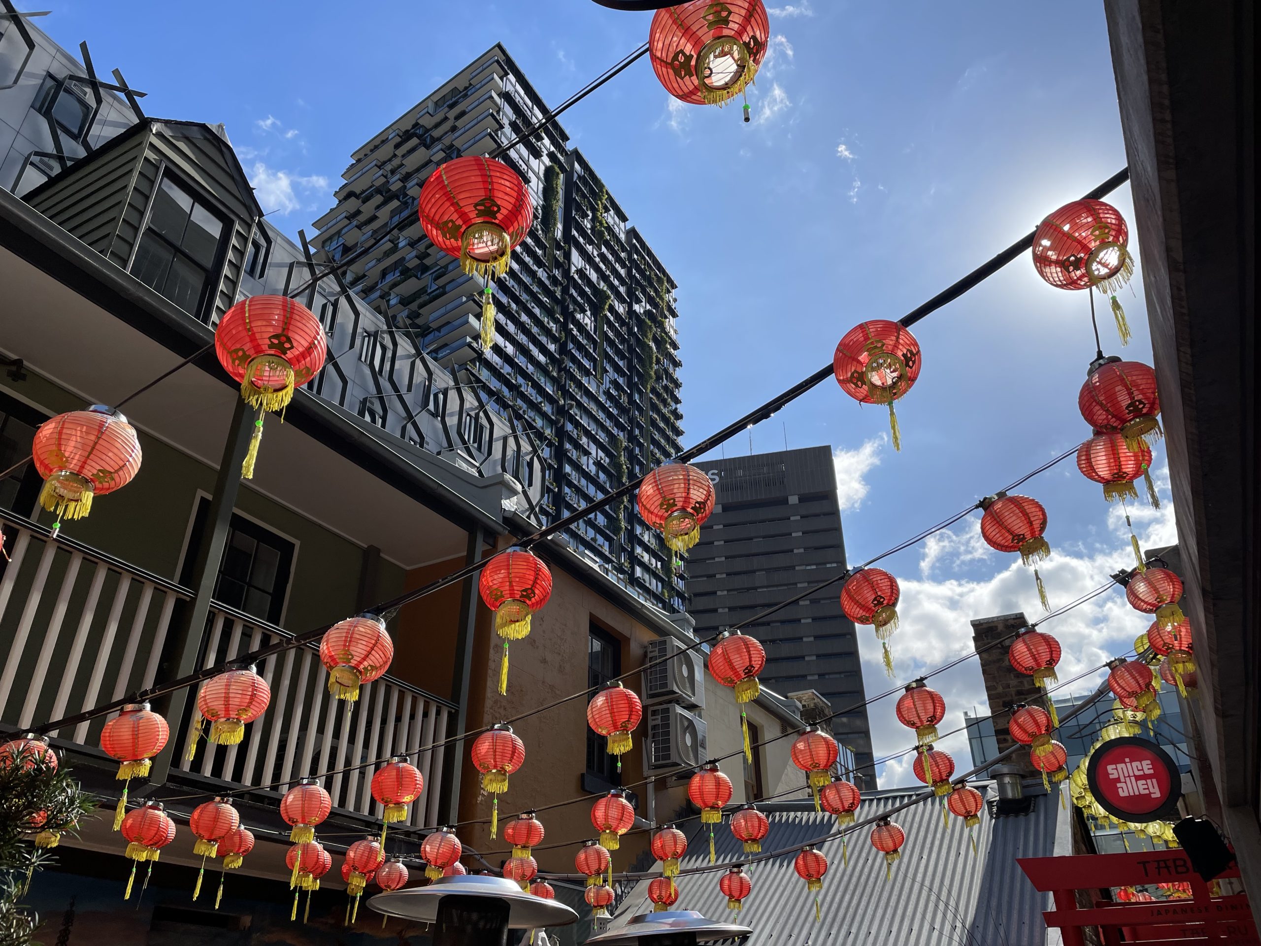
People, Patterns and Processes (Year 11)
Investigate cultural change in Sydney with a case study of an area that is shedding its traditional roots and emerging as a vibrant and diverse modern community.
Syllabus outcomes for this field trip
GE-11-01 A student examines places, environments and natural and human phenomena, for their characteristics, spatial patterns, interactions and changes over time
Students will visit a number of localities that demonstrate salient characteristics of cultural change, and investigate emerging spatial patterns relating to historical activities, transport corridors and residential developments.
GE-11-02 A student explains geographical processes and influences, at a range of scales, that form and transform places and environments
Through experiential learning, students will encounter evidence of such processes as cultural diffusion, adaptation and adoption, and consider the drivers behind cultural transformation.
GE-11-03 A student explains geographical opportunities and challenges, and varying perspectives and responses
Case studies enable students to investigate a number of cultural challenges in urban Sydney, and to identify responses by local authorities, stakeholders and community groups.
GE-11-04 A student assesses responses and management strategies, at a range of scales, for sustainability
Students will assess management strategies, including those of developers, government authorities and tertiary institutions, to determine their potential success in achieving sustainable outcomes for the community.
GE-11-05 A student analyses and synthesises relevant geographical information from a variety of sources
Students will be provided with secondary data to support their field studies, such as historical articles and photographs, as well as collecting and interpreting a range of primary data themselves.
GE-11-06 A student identifies geographical methods used in geographical inquiry and their relevance in the contemporary world
Students will gain exposure to a variety of modern geographical methods for data collection, analysis and interpretation.
GE-11-07 A student applies geographical inquiry skills and tools, including spatial technologies, fieldwork, and ethical practices, to investigate places and environments
Fieldwork is what it’s all about at Auseco! Students will engage with a variety of modern field methodologies to collect qualitative and quantitative data about physical and cultural characteristics of their field sites.
GE-11-08 A student applies mathematical ideas and techniques to analyse geographical data
Students interpret qualitative and quantitative data they have collected in the field, and also critically evaluate their data quality in terms of its reliability, sources of bias, validity of results, usefulness of the outcome, and any limitations of the methodology or equipment.
GE-11-09 A student communicates and applies geographical understanding, using geographical knowledge, concepts, terms and tools, in appropriate forms
Students not only gain skills and knowledge about field study techniques and their site, but in drawing together their background knowledge and interpreting their results from the day, they are given an excellent opportunity to build and apply their geographical understanding. Actively engaged fieldwork participants find that this translates to high assessment performance down the track.
Study 3: Place and Cultural Change
Explore the hidden alleyways and cultural surprises with Auseco’s local knowledge of these hotspots of urban change. Students will collect and interpret data about physical parameters, record a series of transect studies along pedestrian corridors, and use field sketches and an architecture study to build their understanding of the drivers behind cultural change processes. A highlight of the day is the opportunity to dine at one of the local street food outlets while observing cultural adoption in action.
Locations
Program outline
- Morning session: Site briefing, background, field sketch, urban transect
- Midday session: Physical testing and architecture study, street food lunch
- Afternoon session: Sustainability and wellbeing study
Activities are performed in a rotation to accommodate multiple classes. The timing and location of activities will vary according to factors such as the school’s schedule, number of classes, and the environmental conditions on the day.
Sample worksheets are available which also contain details of geographical skills, equipment and secondary data provided by this program. Contact us to request.
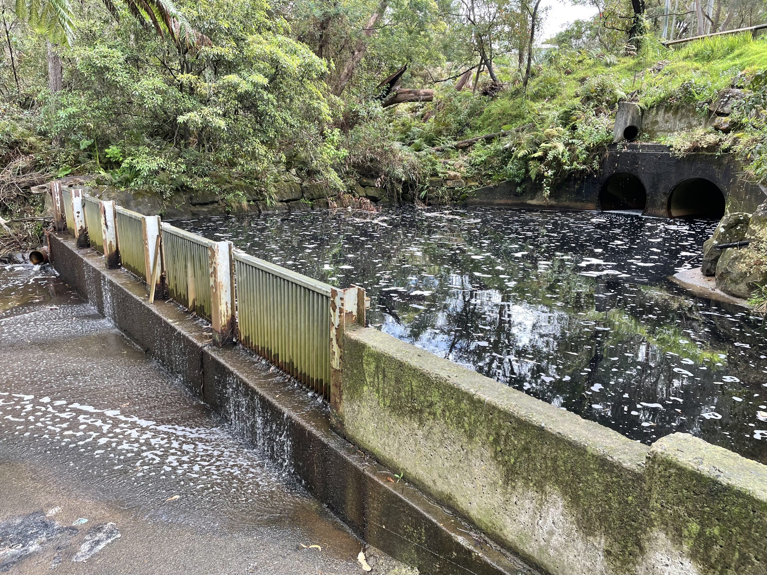
Human-Environment Interactions (Year 11)
Engage with a variety of geographical challenges and contemporary hazards relating to specific regions or ecosystem characteristics.
Syllabus outcomes for this field trip
GE-11-01 A student examines places, environments and natural and human phenomena, for their characteristics, spatial patterns, interactions and changes over time
Students will identify the spatial extent of their case study on a map and identify the spatial features that determine this. In the field, they will study the physical characteristics of the landscape its ecosystems that contribute to the occurrence of specific geographical hazards or challenges relating to their case study.
GE-11-03 A student explains geographical opportunities and challenges, and varying perspectives and responses
Students will encounter examples of circumstances leading to contemporary challenges in their case study area, with opportunities to view and consider strategies to manage such challenges effectively into the future.
GE-11-04 A student assesses responses and management strategies, at a range of scales, for sustainability
The hazards or challenges encountered in this unit’s field trips provide opportunities for students to suggest, observe and critically assess a variety of potential solutions or strategies in the context of sustainability. Students will engage with responses ranging from household decision-making to battling the global pattern of climate change.
GE-11-05 A student analyses and synthesises relevant geographical information from a variety of sources
Students will be provided with secondary data to support their field studies, such as topographical maps, climate data and historical aerial photographs, as well as collecting and interpreting a range of primary data themselves.
GE-11-06 A student identifies geographical methods used in geographical inquiry and their relevance in the contemporary world
Students will gain hands-on experience of using modern geographical field equipment and survey methodologies. Through small group work, Auseco ensures that every student has access to all pieces of equipment with opportunities to collect high-quality data.
GE-11-07 A student applies geographical inquiry skills and tools, including spatial technologies, fieldwork, and ethical practices, to investigate places and environments
Fieldwork is what it’s all about at Auseco! Students prepare for their field study by analysing maps and climate data for the site, then perform detailed investigations using a variety of equipment and techniques relevant to the site’s characteristics.
GE-11-08 A student applies mathematical ideas and techniques to analyse geographical data
Students interpret qualitative and quantitative data they have collected in the field, and also critically evaluate their data quality in terms of its reliability, sources of bias, validity of results, usefulness of the outcome, and any limitations of the methodology or equipment.
GE-11-09 A student communicates and applies geographical understanding, using geographical knowledge, concepts, terms and tools, in appropriate forms
Students not only gain skills and knowledge about field study techniques and their site, but in drawing together their background knowledge and interpreting their results from the day, they are given an excellent opportunity to build and apply their geographical understanding. Actively engaged fieldwork participants find that this translates to high assessment performance down the track.
Study 1: A geographical region - the Sydney Basin
The Sydney Basin bioregion, defined principally by geological boundaries, draws its unique character from the underlying geology, seasonal aridity, and fire-dependent ecologies. Through studying the properties of the lithosphere (Hawkesbury Sandstone’s topography and soils), biosphere (plant adaptations to infertile soils) and hydrosphere (water quality), students will determine why urban runoff has become a particular challenge in the Sydney Basin. They will see and evaluate management strategies for urban runoff in action, and consider the roles of water-sensitive urban design and climate change in addressing urban runoff in the future.
Locations
- Bantry Bay (Frenchs Forest)
- Dairy Creek (Mortdale)
Program outline
- Morning session: Site briefing, background, climate study, map work
- Midday session: Geology study, soil testing and analysis, vegetation study & transect
- Afternoon session: Water quality testing, Gross Pollutant Trap evaluation
Activities are performed in a rotation to accommodate multiple classes. The timing and location of activities will vary according to factors such as the school’s schedule, number of classes, and the environmental conditions on the day.
Sample worksheets are available which also contain details of geographical skills, equipment and secondary data provided by this program. Contact us to request.
Study 2: A contemporary hazard - Bushfire
Recent events have brought bushfire to the forefront of Australia’s collective consciousness, and climate change is ensuring that bushfire management will concern the work of geographers for generations to come. Fieldwork is a critical part of this! In the bush, we will perform testing to estimate fire danger based on fuel load, slope and atmospheric conditions, and observe a recent burn site first-hand to gauge the effect of bushfire on the local ecosystems. A highlight of this program is lighting a campfire (marshmallows optional) to observe the adaptations of native vegetation when burnt. Students will also carry out a bushfire preparedness assessment on local homes.
Location
- Bantry Bay (Frenchs Forest)
- Camp Coutts (Waterfall)
Program outline
- Morning session: Site briefing, background, bushfire danger, topography study
- Midday session: Measuring fire-related physical parameters, fire-adaptive traits of vegetation, impacts of fire on local ecosystems
- Afternoon session: Bushfire management strategies, bushfire preparedness assessment
Activities are performed in a rotation to accommodate multiple classes. The timing and location of activities will vary according to factors such as the school’s schedule, number of classes, and the environmental conditions on the day.
Sample worksheets are available which also contain details of geographical skills, equipment and secondary data provided by this program. Contact us to request.
Study 2: A contemporary hazard - Landslides
In a combined program with Earth’s Natural Systems (Subtropical rainforest systems), this study will consider the hazard of landslides on the Illawarra Escarpment. Students will measure physical parameters relating to the risk of mass movement, and identify human alterations to the landscape that impact the danger to human habitation.
Location
- Mt Keira (Wollongong)
Please see the Earth’s Natural Systems field trip for further details.
Study 2: A contemporary hazard - Coastal erosion
In a combined program with Earth’s Natural Systems (Coastal dune systems), this study will consider the hazard of coastal erosion on the NSW coastline. Students will observe and measure erosion and deposition taking place, encounter coastal developments vulnerable to erosion, view cases of management strategies in action, and study the climatic events that led to critical erosion during East Coast Low storm events in June 2016 and March 2022.
Locations
Please see the Earth’s Natural Systems field trip for further details.
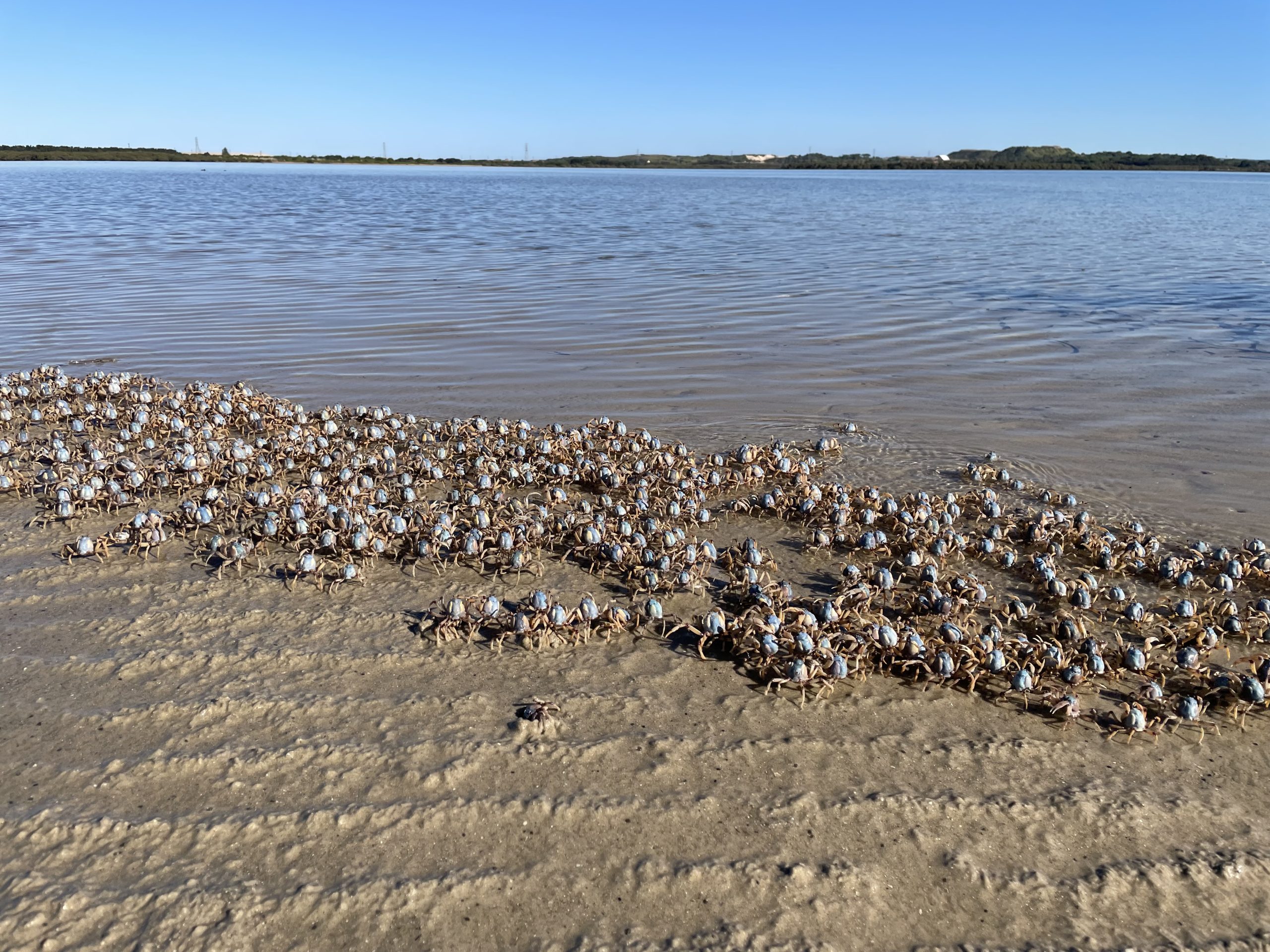
Ecosystems & Global Biodiversity (Year 12)
Investigate the functioning of some surprising and unique ecosystems around Sydney.
Syllabus outcomes for this field trip
GE-12-01 A student analyses rural and urban places, ecosystems, global biodiversity and economic activity, for their characteristics, spatial patterns, interactions, and nature and extent of change over time
Students will examine their study site on a map and analyse its spatial characteristics, based on natural or human phenomena. During their field study, they will investigate changes in the landscape over time by comparing historical secondary data with current observations.
GE-12-02 A student analyses geographical processes and influences, at a range of scales, that form and transform places and environments
Through observations and surveys in the field, students will encounter and analyse evidence of local and global geographical processes, such as estuary system functioning and climate change, that are impacting the ecosystems concerned.
GE-12-03 A student assesses geographical opportunities and challenges, and the role of varying perspectives and responses in their management
Each of our study sites presents evidence of threats and challenges that are of critical importance to ecosystem health and sustainability. While assessing these, students will investigate the variety of positive and negative responses within the community and how some of these are beneficial or detrimental to the ecosystem.
GE-12-04 A student evaluates responses and management strategies, at a range of scales, for sustainability
Ecosystem threats and challenges encountered in this unit’s field trips provide opportunities for students to suggest, observe and critically evaluate a variety of potential solutions or strategies in the context of sustainability. Students will engage with responses ranging from daily personal decision-making to battling the global pattern of climate change.
GE-12-05 A student synthesises and evaluates relevant geographical information from a variety of sources
Students will be provided with secondary data to support their field studies, such as topographical maps, climate data and historical aerial photographs, as well as collecting and interpreting a range of primary data themselves.
GE-12-06 A student justifies geographical methods used in geographical inquiry and their relevance in the contemporary world
Exposure to modern fieldwork techniques will enable students to think critically about the contribution and relevance of fieldwork to contemporary issues affecting our planet and society.
GE-12-07 A student selects and applies geographical inquiry skills and tools, including spatial technologies, fieldwork and ethical practices, to investigate places and environments
Students will gain hands-on experience of using modern field equipment and survey methodologies to investigate geographical phenomena at their study site.
GE-12-08 A student applies mathematical ideas and techniques to analyse complex geographical data
Students interpret qualitative and quantitative data they have collected in the field, and also critically evaluate their data quality in terms of its reliability, sources of bias, validity of results, usefulness of the outcome, and any limitations of the methodology or equipment.
GE-12-09 A student communicates and applies geographical understanding, using geographical knowledge, concepts, terms and tools, in appropriate forms
Students not only gain skills and knowledge about field study techniques and their site, but in drawing together their background knowledge and interpreting their results from the day, they are given an excellent opportunity to build and apply their geographical understanding. Actively engaged fieldwork participants find that this translates to high assessment performance down the track.
Wetland ecosystems
Students investigate natural elements of this intertidal wetland to understand the distribution of mangroves and seagrass on a global, national and local scale. We’ll collect primary data using a variety of field equipment to quantify the nature of its biodiversity. Changes over time at Botany Bay will be considered with case studies that highlight vulnerability, resilience and ecological disturbance. Qualitative data from student observations facilitates an understanding of government responses and management strategies for maintaining ecosystem functioning with a focus on sustainability and the role of contemporary research.
Location
- Botany Bay (Kurnell)
Program outline
- Morning session: Site briefing, background, map work, water parameter testing, sustainability assessment
- Midday session: Vegetation survey and diversity assessment, biophysical testing in mangrove forest
- Afternoon session: Seagrass animal catch, observation of threats, responses and management strategies
Activities are performed in a rotation to accommodate multiple classes. The timing and location of activities will vary according to factors such as the school’s schedule, number of classes, and the environmental conditions on the day.
Sample worksheets are available which also contain details of geographical skills, equipment and secondary data provided by this program. Contact us to request.
Bushland ecosystems
Students will explore the dramatic landscape of Garigal National Park and adjacent bushland, to investigate the biophysical characteristics of this temperate pyric sclerophyll forest and appreciate the nature of its biodiversity. We’ll identify habitat niches using a topographic map, then investigate ecosystem parameters with a quadrat study and a transect to investigate human encroachment. The site’s proximity to surrounding residential and industrial areas gives students an excellent opportunity to observe Key Threatening Processes in action.
Location
- Bantry Bay (Frenchs Forest)
- Camp Coutts (Waterfall)
Program outline
- Morning session: Site briefing, background, map work
- Midday session: Quadrat and transect studies
- Afternoon session: Ecosystem vulnerability study, management strategies
Activities are performed in a rotation to accommodate multiple classes. The timing and location of activities will vary according to factors such as the school’s schedule, number of classes, and the environmental conditions on the day.
Sample worksheets are available which also contain details of geographical skills, equipment and secondary data provided by this program. Contact us to request.
Rainforest ecosystem
Students will visit a rare example of Australian subtropical rainforest. Using site specific flora and fauna identification keys as well as a variety of field equipment they investigate the nature of this rainforest’s biodiversity and the physical characteristics that facilitate its functioning.
Subtropical rainforest grows in protected patches along the base of the Illawarra escarpment. This field trip presents an opportunity to learn about vulnerability, resilience and ecological disturbance as a result of human-induced modifications on a local scale. Supported by secondary data including maps, aerial photos and historical photos, students examine current management strategies and the role of contemporary research in preserving the remaining rainforest of the Illawarra.
Location
- Mt Keira (Wollongong)
Program outline
- Morning session: Site briefing, background, map work at Mt Keira lookout
- Midday session: Landscape traverse, biophysical testing in rainforest
- Afternoon session: Ecosystem vulnerability study, management strategies
Activities are performed in a rotation to accommodate multiple classes. The timing and location of activities will vary according to factors such as the school’s schedule, number of classes, and the environmental conditions on the day.
Sample worksheets are available which also contain details of geographical skills, equipment and secondary data provided by this program. Contact us to request.
Rural & Urban Places (Year 12)
Soak up local colour and get acquainted with the issues surrounding these distinct communities in Sydney’s bustling city centre and rural fringe.
Syllabus outcomes for this field trip
GE-12-01 A student analyses rural and urban places, ecosystems, global biodiversity and economic activity, for their characteristics, spatial patterns, interactions, and nature and extent of change over time
GE-12-02 A student analyses geographical processes and influences, at a range of scales, that form and transform places and environments
GE-12-03 A student assesses geographical opportunities and challenges, and the role of varying perspectives and responses in their management
GE-12-04 A student evaluates responses and management strategies, at a range of scales, for sustainability
GE-12-05 A student synthesises and evaluates relevant geographical information from a variety of sources
Students will be provided with secondary data to support their field studies, such as topographical maps, climate data and historical aerial photographs, as well as collecting and interpreting a range of primary data themselves.
GE-12-06 A student justifies geographical methods used in geographical inquiry and their relevance in the contemporary world
Exposure to modern fieldwork techniques will enable students to think critically about the contribution and relevance of fieldwork to contemporary issues affecting our planet and society.
GE-12-07 A student selects and applies geographical inquiry skills and tools, including spatial technologies, fieldwork and ethical practices, to investigate places and environments
Students will gain hands-on experience of using modern field equipment and survey methodologies to investigate geographical phenomena at their study site.
GE-12-08 A student applies mathematical ideas and techniques to analyse complex geographical data
Students interpret qualitative and quantitative data they have collected in the field, and also critically evaluate their data quality in terms of its reliability, sources of bias, validity of results, usefulness of the outcome, and any limitations of the methodology or equipment.
GE-12-09 A student communicates and applies geographical understanding, using geographical knowledge, concepts, terms and tools, in appropriate forms
Students not only gain skills and knowledge about field study techniques and their site, but in drawing together their background knowledge and interpreting their results from the day, they are given an excellent opportunity to build and apply their geographical understanding. Actively engaged fieldwork participants find that this translates to high assessment performance down the track.
Rural place: Windsor
Become acquainted with this character-filled Macquarie Town that oozes heritage significance but has its own modern challenges. During a windscreen tour of the town’s rural environs, we’ll observe farming practices and human modifications to the natural landscape. Students will investigate challenges specific to rural communities, and encounter the mighty Hawkesbury River, the lifeblood of Windsor but also an agent of potential destruction to development on the floodplain.
Location
- Windsor (coming soon!)
Program outline
- Morning session: Site briefing, background, windscreen tour
- Midday session: Investigation of natural environment and human impacts
- Afternoon session: Tour and surveys in the township of Windsor
Activities are performed in a rotation to accommodate multiple classes. The timing and location of activities will vary according to factors such as the school’s schedule, number of classes, and the environmental conditions on the day.
Sample worksheets will shortly be available which also contain details of geographical skills, equipment and secondary data provided by this program. Contact us to request.
Urban place: Darling Harbour
Darling Harbour and its surrounds have a rich industrial past and a vibrant modern feel. Students will traverse a route that showcases the area’s shift from trade and transport to education, hospitality and tourism. They’ll conduct testing and surveys to collect data about geographical processes that shape Darling Harbour’s identity, and use secondary data and field observations to investigate social, economic and environmental changes in the area.
Darling Harbour is the location of significant new development. Students will form their own opinions about strategies to ensure this locality’s sustainability in the heart of Sydney.
Location
- Darling Harbour (coming soon!)
Program outline
- Morning session: Site briefing, background, Goods Line and Tumbalong Blvd traverse
- Midday session: Business case study around Tumbalong Park
- Afternoon session: Historical and new development study
Activities are performed in a rotation to accommodate multiple classes. The timing and location of activities will vary according to factors such as the school’s schedule, number of classes, and the environmental conditions on the day.
Sample worksheets will shortly be available which also contain details of geographical skills, equipment and secondary data provided by this program. Contact us to request.
